Animated GIF

Animation
Generate an animation of alignment behavior across relevant distances
Author

Karel Dieussaert

Published

January 7, 2026

Animated GIF

This example creates a GIF that visualizes alignment results over an increasing relevant_distance series.

What you learn

  1. How to process many distances in one run.
  2. How to generate an animation with animated_map(...).
  3. How to detect stable zones where increased distance does not change geometry anymore.

How to interpret the animation

  • Early frames: small local corrections only.
  • Mid frames: more boundary segments start snapping.
  • Stable frames: geometry remains unchanged even when distance increases.

This helps choose practical distance ranges for production settings.

import numpy as np

from brdr.aligner import Aligner
from brdr.be.grb.enums import GRBType
from brdr.be.grb.loader import GRBActualLoader
from brdr.loader import GeoJsonLoader
from brdr.viz import animated_map

if __name__ == "__main__":
    # Example: process a range of relevant distances and export animation.
    aligner = Aligner()

    geometry = {  # noqa: F841 - kept for docs: alternative geometry candidate
        "coordinates": [
            [
                [171136.16765265574, 170605.6084498393],
                [171164.53923982676, 170663.78453262427],
                [171071.40019103308, 170714.22290981715],
                [171037.87013346734, 170676.6807086111],
                [171136.16765265574, 170605.6084498393],
            ]
        ],
        "type": "Polygon",
    }

    geometry = {  # Active geometry used in this example.
        "coordinates": [
            [
                [171132.08386359326, 170804.71107799126],
                [171168.04986551206, 170776.33949082025],
                [171144.2635853586, 170743.09601494312],
                [171118.32794254067, 170761.58053385757],
                [171111.52162743648, 170766.9897632298],
                [171125.34919391124, 170785.6892184107],
                [171126.13729355487, 170786.83554516506],
                [171121.9102136481, 170789.8804756064],
                [171132.08386359326, 170804.71107799126],
            ]
        ],
        "type": "Polygon",
    }
    thematic_json = {
        "type": "FeatureCollection",
        "name": "test",
        "crs": {"type": "name", "properties": {"name": "urn:ogc:def:crs:EPSG::31370"}},
        "features": [
            {
                "type": "Feature",
                "properties": {"fid": 1100, "id": 1100, "theme_identifier": "1100"},
                "geometry": geometry,
            }
        ],
    }

    aligner.load_thematic_data(
        GeoJsonLoader(_input=thematic_json, id_property="theme_identifier")
    )
    aligner.load_reference_data(
        GRBActualLoader(grb_type=GRBType.ADP, partition=1000, aligner=aligner)
    )

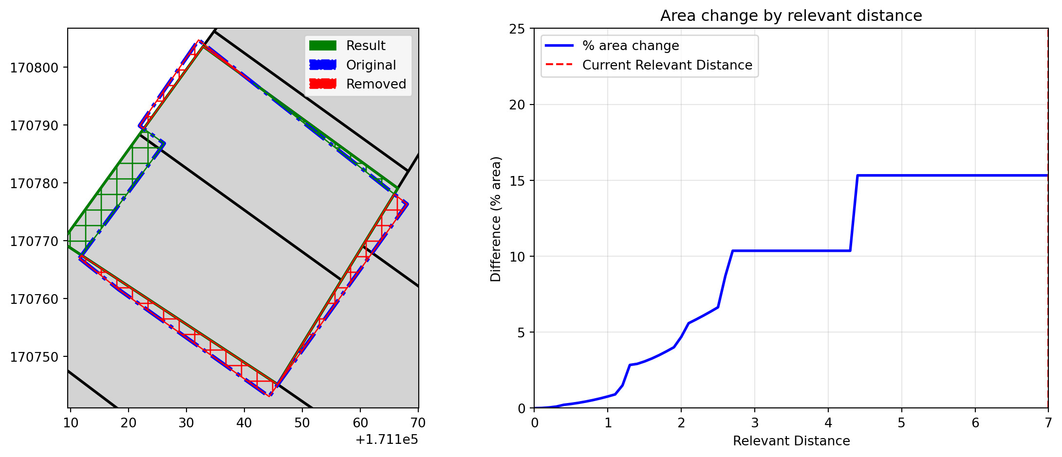
    relevant_distances = np.arange(0, 710, 10, dtype=int) / 100
    aligner_result = aligner.process(relevant_distances=relevant_distances)
    thematic_geometries = {
        key: feat.geometry for key, feat in aligner.thematic_data.features.items()
    }
    reference_geometries = {
        key: feat.geometry for key, feat in aligner.reference_data.features.items()
    }

    filename = "animation.gif"
    animated_map(
        aligner_result.results,
        thematic_geometries,
        reference_geometries,
        relevant_distances[-1],
        25,
        150,
        filename,
    )
/opt/hostedtoolcache/Python/3.12.13/x64/lib/python3.12/site-packages/brdr/viz.py:105: UserWarning: The GeoSeries you are attempting to plot is composed of empty geometries. Nothing has been displayed.
  gs_diff.plot(
/opt/hostedtoolcache/Python/3.12.13/x64/lib/python3.12/site-packages/brdr/viz.py:105: UserWarning: The GeoSeries you are attempting to plot is composed of empty geometries. Nothing has been displayed.
  gs_diff.plot(
/opt/hostedtoolcache/Python/3.12.13/x64/lib/python3.12/site-packages/brdr/viz.py:105: UserWarning: The GeoSeries you are attempting to plot is composed of empty geometries. Nothing has been displayed.
  gs_diff.plot(
/opt/hostedtoolcache/Python/3.12.13/x64/lib/python3.12/site-packages/brdr/viz.py:105: UserWarning: The GeoSeries you are attempting to plot is composed of empty geometries. Nothing has been displayed.
  gs_diff.plot(
Animation successfully saved to: animation.gif
Figure 1: Graphic

<- Back to examples overview